Hiking in Goblin Valley
Hiking a nearby slot canyon? Check the flash flood forecast here.
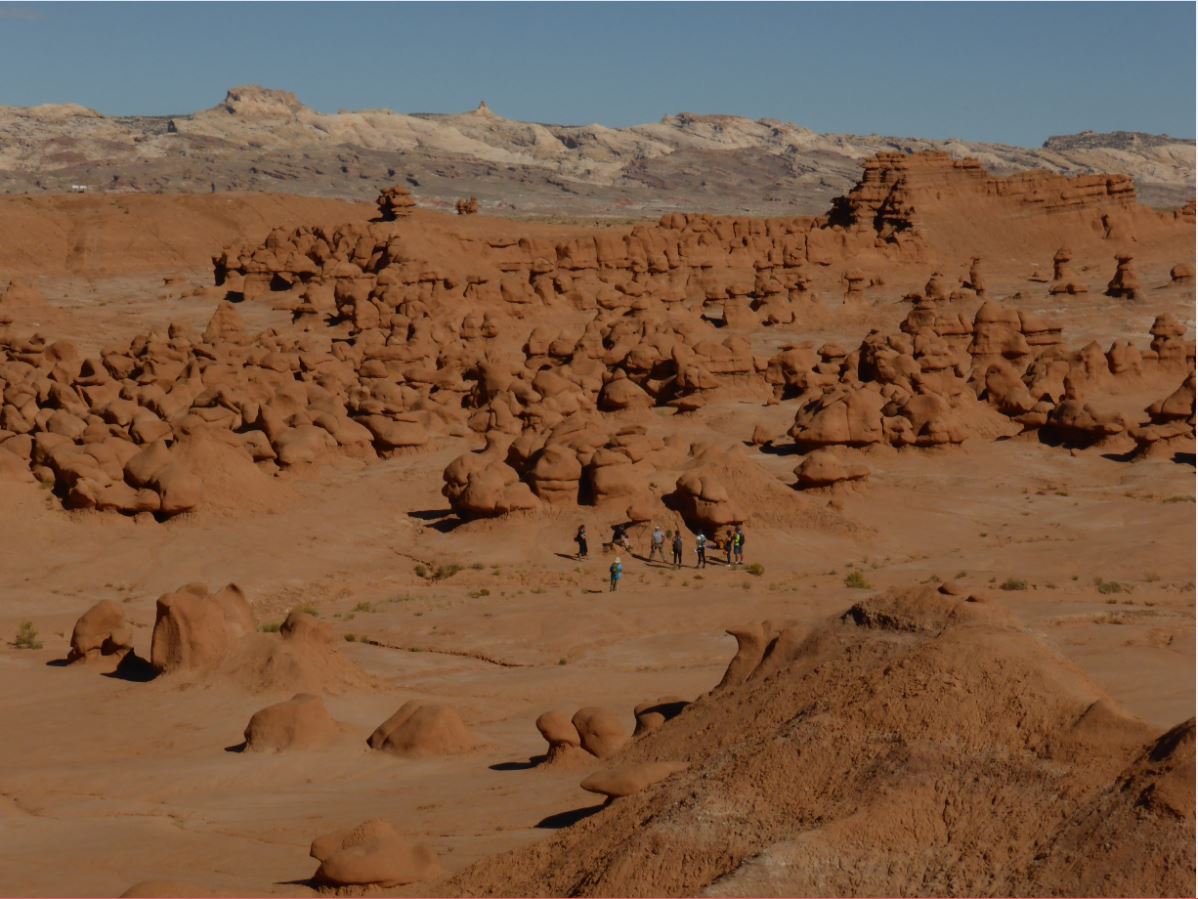
Goblin Valley State Park presents a fun and unique experience for those who wish to explore on foot. The Valley of Goblins, our most well-known attraction, spans nearly three square miles and is a free-roaming area that can be explored at your leisure. Beyond this area, the park also offers six miles of hiking trails as outlined in our brochure. To learn more about one of these routes, click one of the links below. Otherwise, read on for a virtual tour of the Valley of Goblins.
The Goblin’s Lair Carmel Canyon Entrada Canyon Curtis Bench Trail Three Sisters Toadstool Canyon
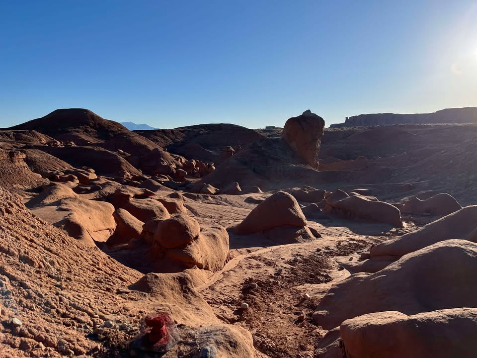
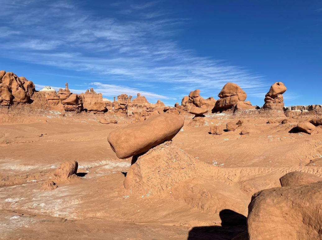
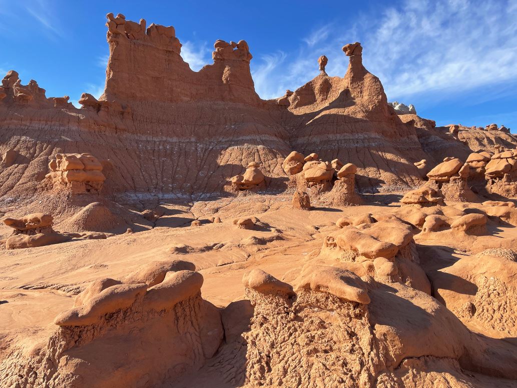
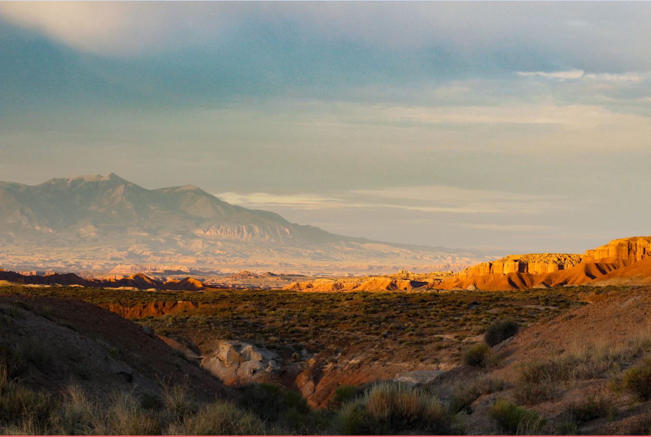
Some maps of Goblin Valley State Park divide the Valley of Goblins into three separate areas. After descending the staircase from the picnic pavilion, hikers will enter what is often called the First Valley: a mostly flat expanse containing several dozen clusters of the twisted, stunted hoodoos locally called “goblins.” No matter what direction a person chooses to walk here, they are sure to find something interesting.

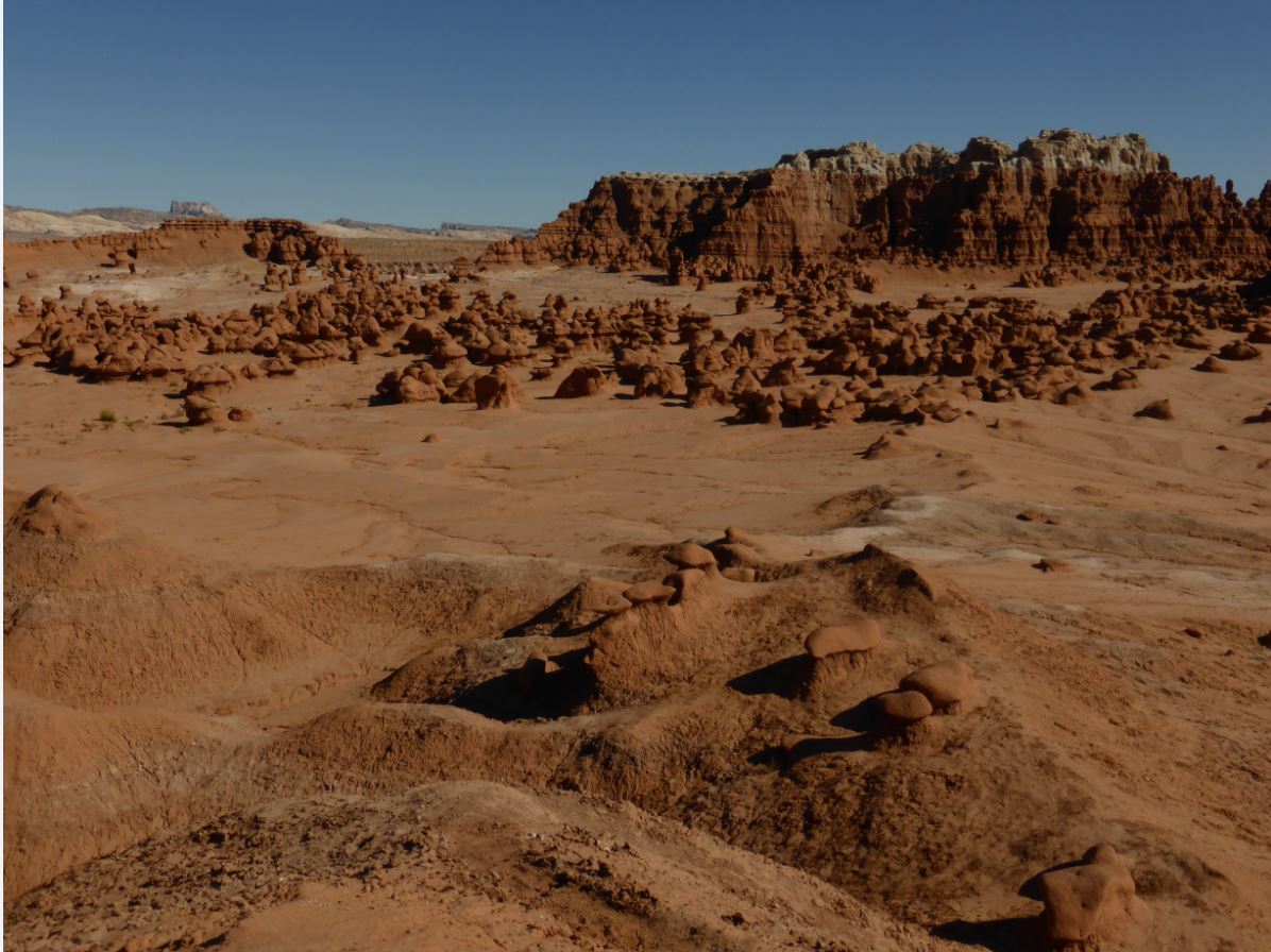
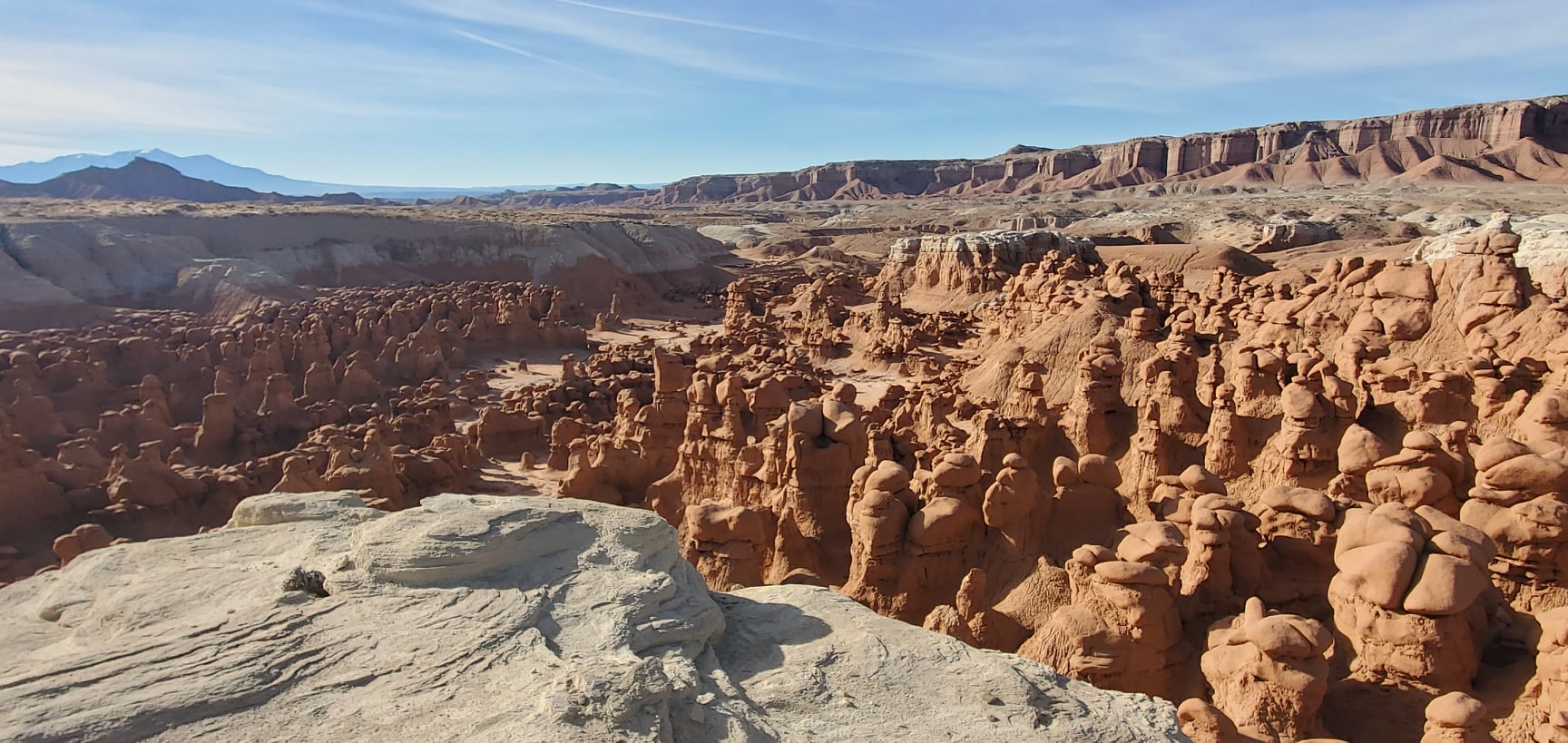
From the overlook staircase, hike out to the furthest southern white dome you see in the distance. This is what has often been referred to as the “Second Valley of Goblins.” The formations here line several canyons that branch off from the main Red Canyon drainage. The further up these canyons you go, the taller the goblins get!

Beyond the Second Valley, the state park still extends far to the south, eventually melding with the newly established Big Wild Horse Mesa Wilderness Area (BLM). The hiker’s highway through this area is the Red Canyon Wash. Side drainages to the left (east) out of this wash lead to some dramatic landscapes. The “Third Valley of Goblins” can be found more than a mile south of the observation point, and out of view of any roads. It is very similar to the First Valley in size and composition. More than a mile further beyond that, beyond the park boundary, the “Goblin Square” provides for a true wilderness destination – nicknamed for the almost perfect square that it forms when viewed from above.
Please note that there are no trails or markings of any kind in this area. Experience in desert backcountry navigation is required, and it is advisable to both study aerial photography of the area and to bring along a handheld GPS unit. Hiking to the Third Valley or Goblin Square will be an all-day excursion.
Marked Trails
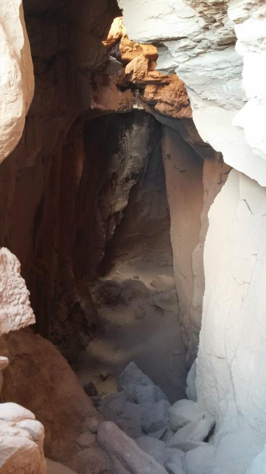
The Goblin’s Lair
- Distance: 1.5 miles one way. Optional additional .25 miles to the Goblette’s Lair.
- Difficulty: Strenuous
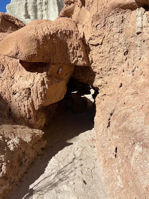
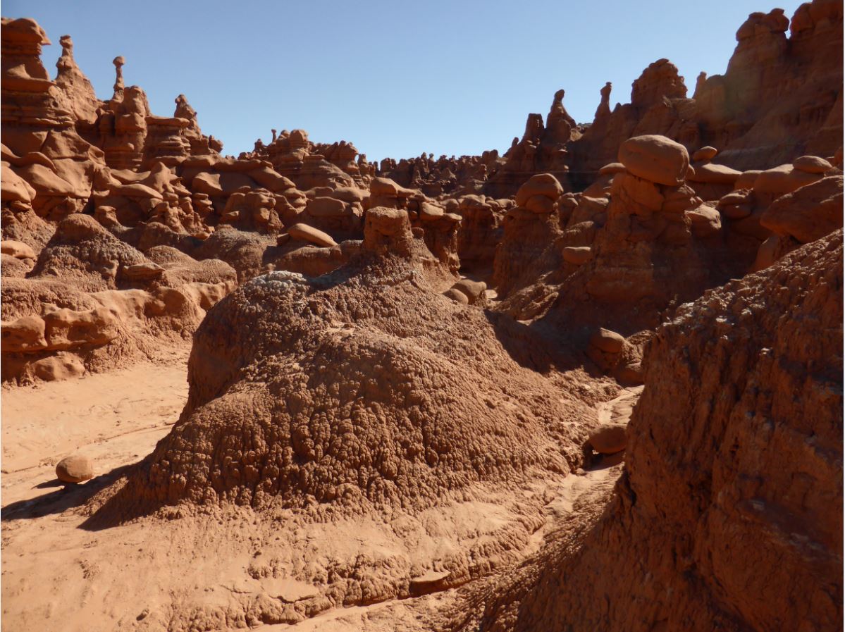
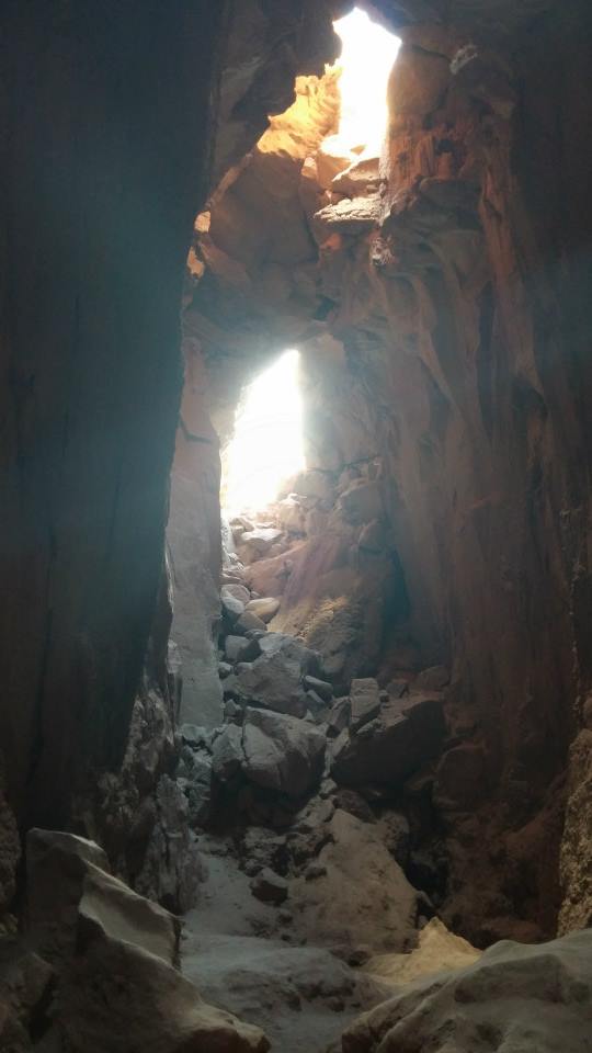
Hidden away on the park’s eastern boundary, beyond the cliffs that form the far wall of the Valley of Goblins, is a massive cavernous formation known as The Goblin’s Lair. Not truly a cavern, the “lair” is actually a beautiful slot canyon, the entrance of which has been sealed by rockfall. Depending on the time of day, light may pour in through ceiling vents more than 100 feet above the chamber floor. Once a secret gem known only to a few, a marked trail now guides visitors to the “hiker’s entrance” of the lair. The trail begins at the observation point and follows the Carmel Canyon loop before splitting off after 1/2 mile. Some moderate scrambling up scree slopes and over boulders is required. Caution is advised.
Permits for those wishing to rappel into the Goblin’s Lair are available at the visitor center desk. A $4 permit fee (per person) is charged for the maintenance of the route. Guided canyoneering tours are also available at Get in the Wild Adventures. See our Canyoneering page for more details.
The Carmel Canyon Loop
- Distance: 1.5 miles round trip
- Difficulty: Moderate, rock scrambling
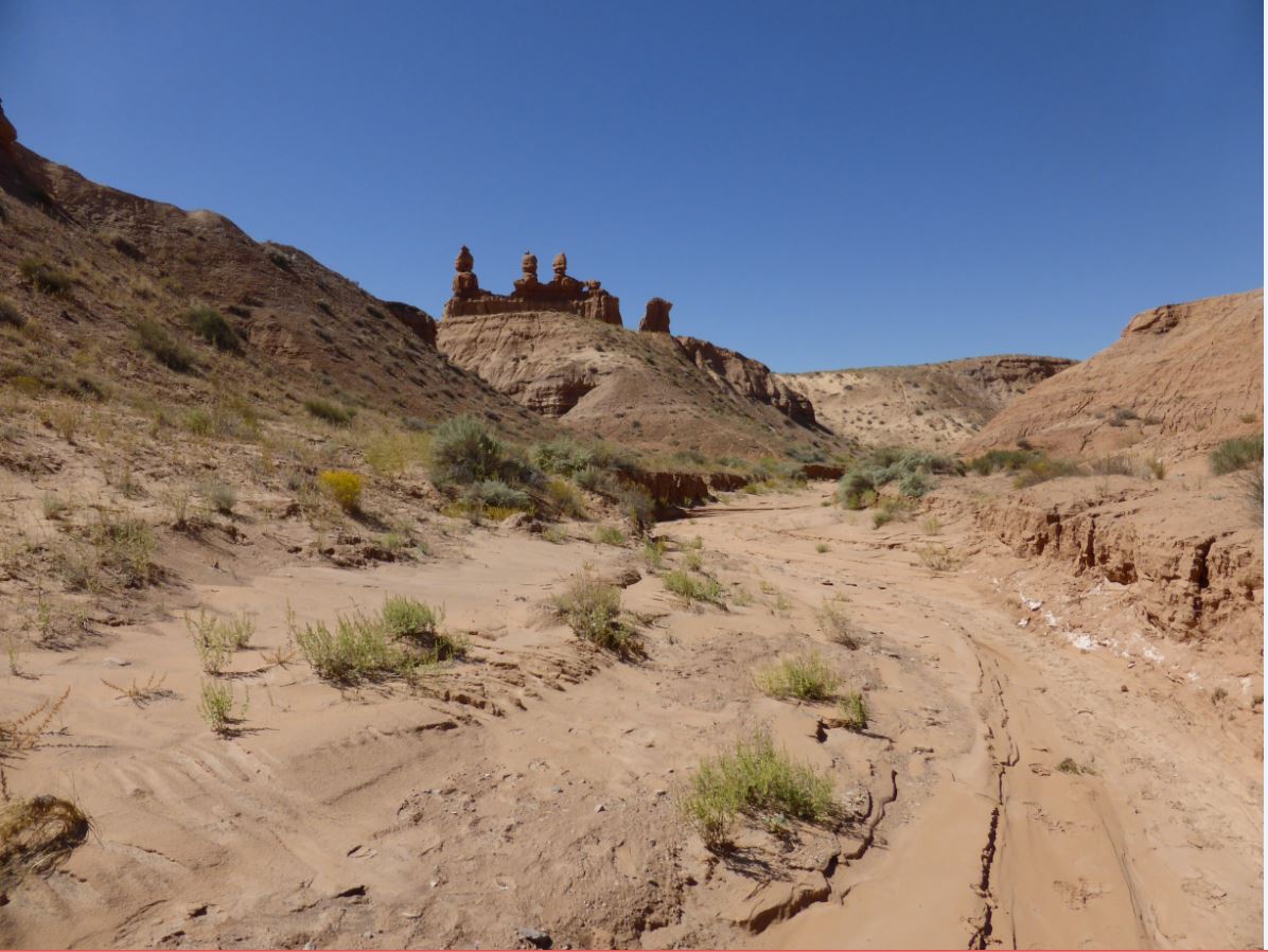
While most visitors venture down the Carmel Canyon Loop only to access the Goblin’s Lair Trail, it is a beautiful hike in its own right. Especially scenic in the evening hours, this trail grants sweeping vistas of the Carmel goblin formation, the Molly’s Castle outcrop, the Three Sisters, and on clear days, even the La Sal Mountains far to the east. For those who lack the time to explore Little Wild Horse Canyon, Carmel Canyon does contain a short section of colorful narrows. Completing the entire loop requires some minor scrambling. Caution is advised.

Entrada Canyon
- Distance: 1.5 miles one way
- Difficulty: Moderate
The Entrada Canyon Trail begins at the group campsite and ends at the Valley of Goblins observation point parking lot. The canyon is named for the same layer of sand and siltstone that makes up the Valley of Goblins. For those spending the night in the park, it serves as a scenic alternative to driving. Along the way, hikers will pass by a number of interesting goblin formations that cannot be easily seen from any other vantage point.


Curtis Bench Trail
- Distance: 1.5 round trip
- Difficulty: Easy
The Curtis Bench Trail is accessed alongside the Entrada Canyon Trail and runs parallel to it but at a higher elevation. It is named for the grey-green Curtis layer of sand and siltstone that covers many of the upland regions of the park. From this vantage point, hikers are awarded sweeping vistas of the Henry Mountains to the south, as well as the Valley of Goblins to the east. A marked cutoff trail leads down into the First Valley, allowing for a potential loop hike with the Entrada Canyon Trail. Doing so would amount to a trek of approximately four miles.
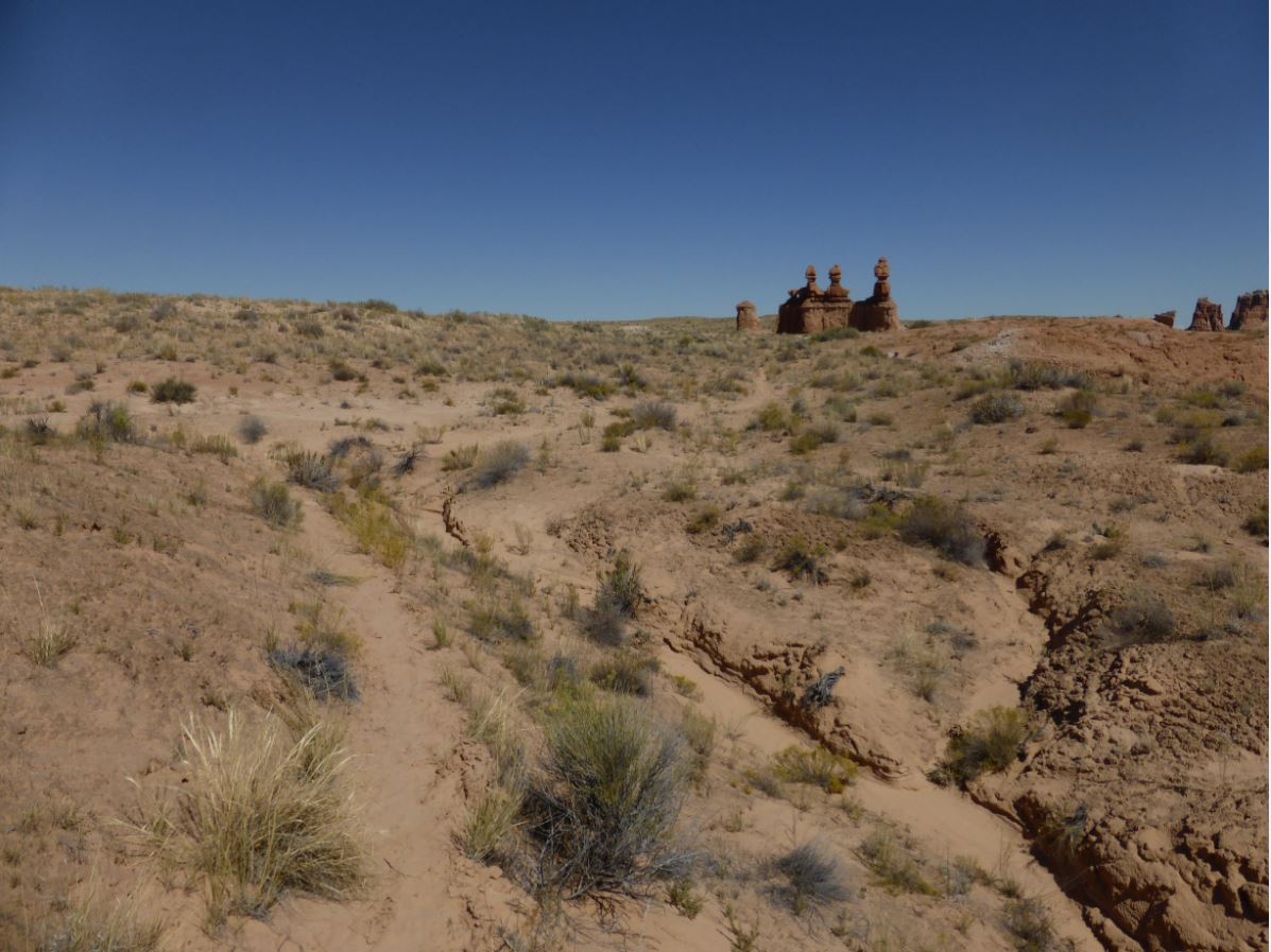
The Three Sisters
- Distance: 250 yards, one way
- Difficulty: Easy
The Three Sisters is the most iconic of all goblin formations within the park and is found on many of the souvenir items available in the visitor center. Most visitors snap a photograph of it as they drive toward the observation point. For those wishing for a closer look, a short, marked trail leads to the formation from the observation point road. Beyond the Three Sisters, the trail drops into the Carmel Canyon trail system, allowing for a number of loop hikes or an alternative means of reaching the Goblin’s Lair.

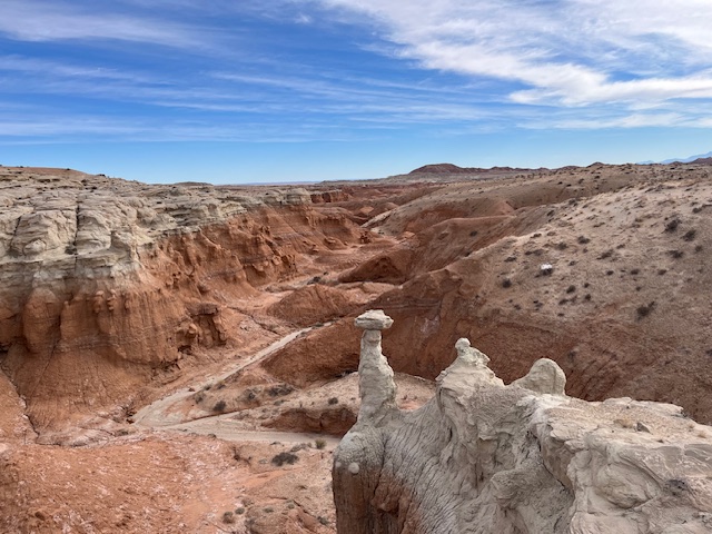
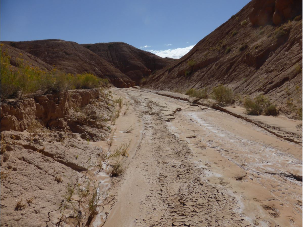
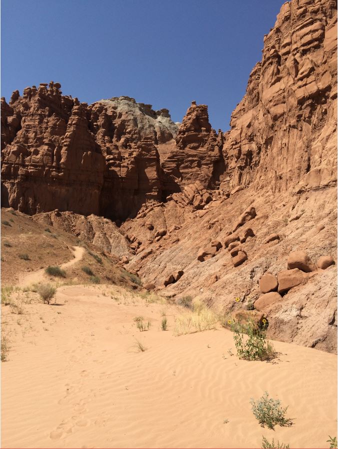
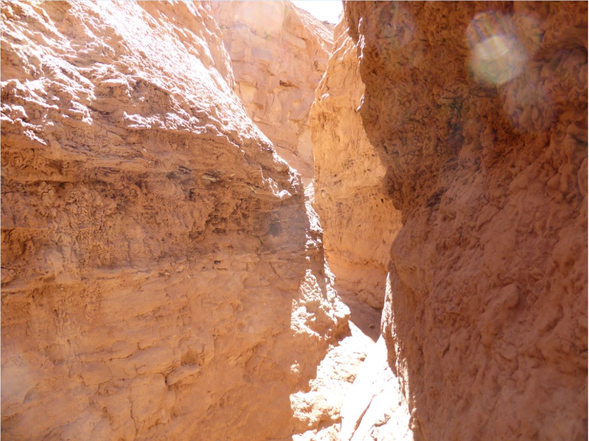
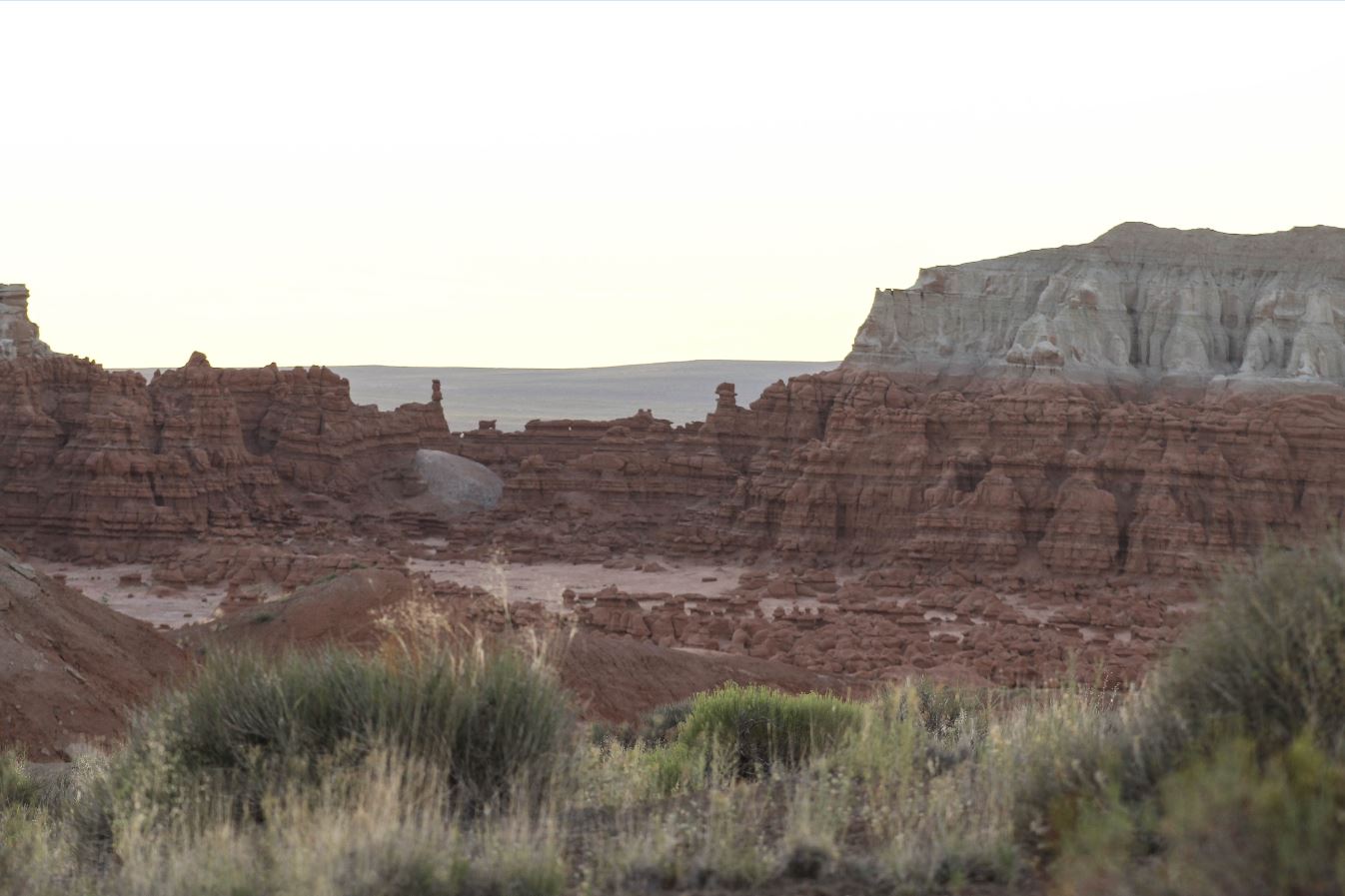
Toadstool Canyon
- Distance: Approx. 2.7 mile loop
- Difficulty: Moderate to Strenuous
- Flash Flood Risk
This trail loops from Curtis Bench trail to the mountain bike trails near t-post 3. It winds through a stunning canyon and past several rare Curtis formation hoodoos. The trail does require scrambling and crawling through some narrow areas. This trail will go through the disc golf course. Rock fall is possible on this trail. The 2nd image is an overlook of the trail; the trail hikes through the wash below.