Dead Horse Point State Park
The Intrepid Trail System at Dead Horse Point State Park offers more than 17 miles of non-motorized trails. Moab Trail Mix, with a generous donation from Intrepid Potash Inc., completed the system in 2014.
Mixed-Use Trails – 7 Unique Overlooks: Measuring nearly six miles in total, the new (2025) mixed use trail system along Dead Horse Point’s far east rim takes adventurers on a true backcountry experience. Seven unique overlooks grant sweeping vistas of the Colorado River canyon country, as well as mining operations past and present.
At its eastern terminus, the system ends at an intact historic site where early 1950’s oil workers extended an equipment cable line all the way to their operation at the river, some 2,000 feet below. The trails wind through juniper and pinyon trees, over slick rock and mixed terrain and offer spectacular views into the canyons below. Trail difficulty varies, with options that can be enjoyed by beginners, families and expert riders alike.
Main Trailhead: The main trailhead is located one mile south of the Entrance Station. The secondary trailhead and parking area are also accessible via the north side of the Visitor Center Parking lot. Mountain bikers should only use this when the primary lot is full.
Know before you go: Please note that this is the most remote section of Dead Horse Point State Park. Basic route finding skills are required and because the trails are not specifically maintained for mountain bikes, all should be considered difficult with scattered obstacles. Cell reception along the far east rim is generally spotty at best.
A park day-use entrance fee is required on a per-vehicle basis (valid for two consecutive days).
Dogs: Dogs are allowed on the mountain biking trails, as long as they are on a leash AT ALL TIMES.
Trail Descriptions
Note: These descriptions follow a generally counter-clockwise and easy-difficult loop around the Intrepid trail system. Trail difficulties are relative to the Intrepid Trail network only, and should not be used in comparison with any other system. If you are hiking on these trails, remember bikers can be present.
Trail Maps: Maps can be found at trail junctions.
Please note that riders must dismount when crossing the park road.
Intrepid
Length: 1/2 mile
Average biking time: 4-5 minutes
Difficulty: Easy
All mountain biking adventures start here. Intrepid is a short trail that is excellent for beginners. Rocky terrain is present, but there is little elevation change. The end of the trail has an excellent view from the Desert View Overlook.
From Intrepid, one may continue on to the Great Pyramid Trail, turn north onto Raven Roll, or cross the park entrance road and proceed to the more challenging western rim trails.

Great Pyramid
Length: 2.2 miles
Average biking time: 20-25 minutes
Difficulty: Easy to Moderate
Great Pyramid is a fun, well-lined trail. Less than a mile after splitting off from Intrepid, the overlook is reached, giving another sweeping view down toward the Colorado River and toward a formation known as the “Great Pyramid” in the distance. Beyond the overlook, to its intersections with Big Chief and Raven Roll, the trail consists of semi-rocky terrain and varied elevation. Traveling southbound will allow riders to enjoy some downhill slick rock areas.

Raven Roll
Distance: 1.7 miles
Average biking time: 8-12 minutes
Difficulty: Easy
Raven Roll is a fast-moving, semi-sandy trail that varies in elevation. It can be taken in either direction but rides best (fastest) from north to south. For those looking for shorter rides along the east rim, Raven Roll provides for an easy 4-mile loop with Great Pyramid or a more moderately difficult 8-mile loop with Big Chief.
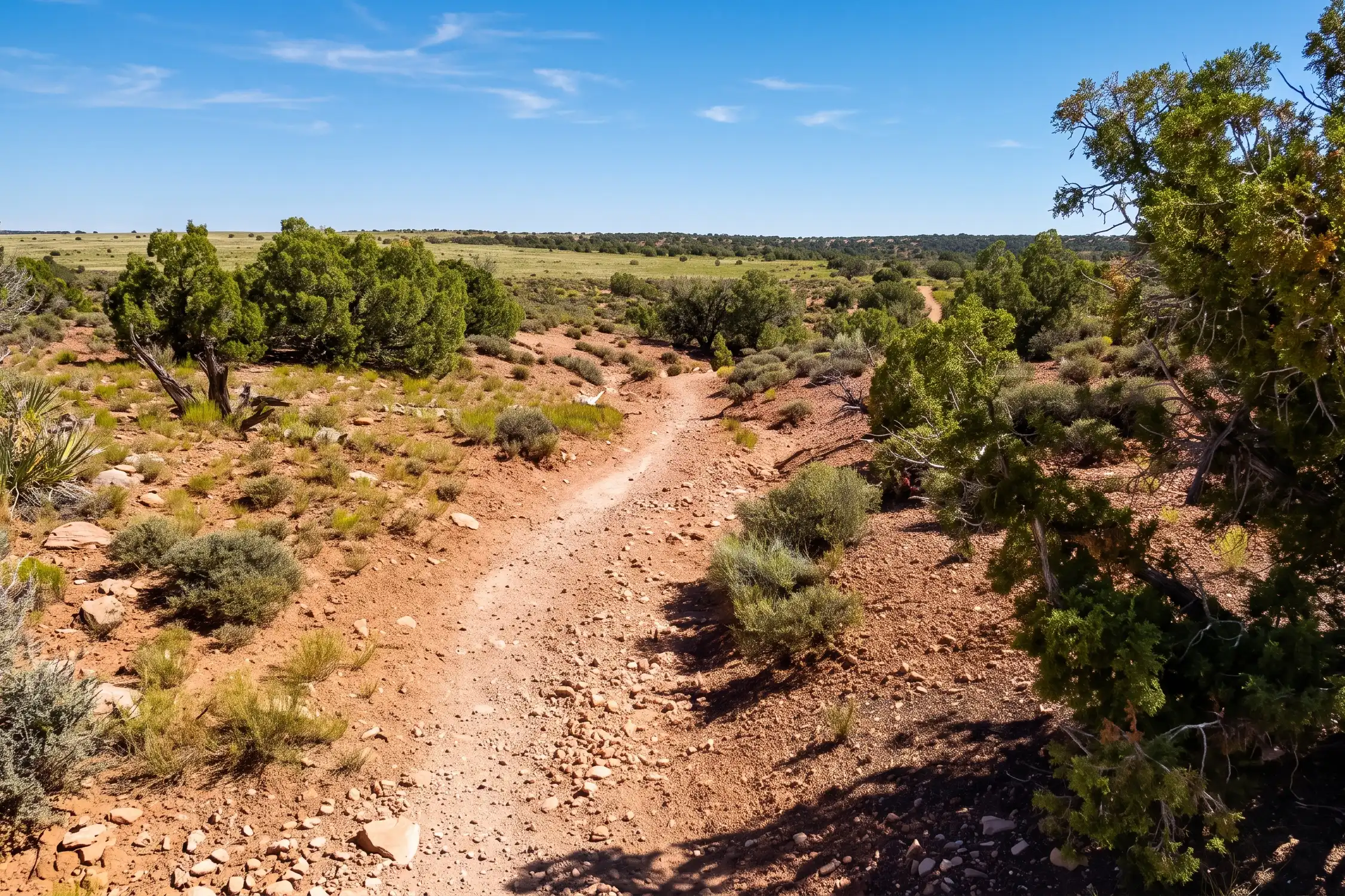
Big Chief
Distance: 3.6 miles
Average biking time: 32-38 minutes
Difficulty: Easy to Moderate
Big Chief is a fun trail to ride in either direction. There is plenty of slick rock and elevation change throughout, making this the most challenging trail on the eastern side of the Intrepid system. At the northernmost point, riders will come to the “Big Chief Overlook,” which provides a sweeping vista of the canyons and La Sal Mountains to the east – as well as the butte for which the trail and overlook are named. A 0.7 mile spur trail leads to the historic “Miner’s Point,” which used to be the final point of an oil line reaching all the way down to the Colorado River.
Crossroads
Distance: 1.7 miles
Average biking time: 11-15 minutes
Difficulty: Easy to Moderate
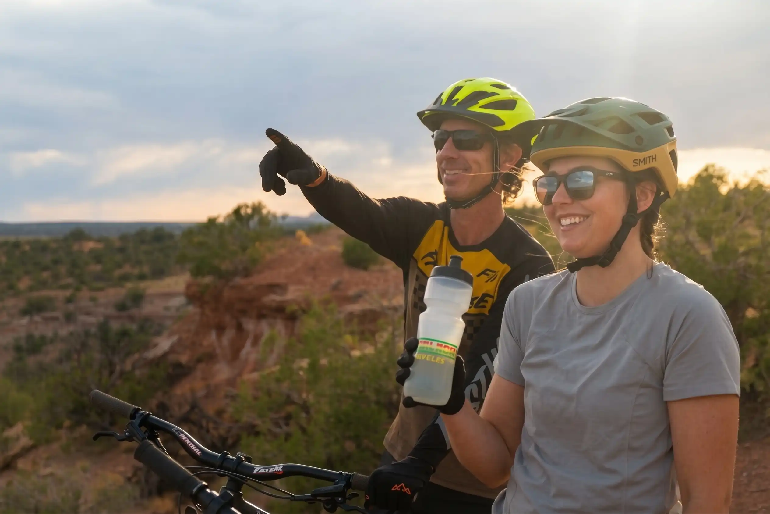
As the name implies, Crossroads connects Big Chief and Raven Roll on the east rim with Whiptail and Prickly Pair on the west. Well packed with a series of short dips and rollers, this is a fun and fast-paced trail in its own right. Crossroads is best ridden from west to east but can be taken in either direction. Please note that riders must dismount when crossing the park road.
Whiptail
Distance: 2.6 miles
Average biking time: 22-26 minutes
Difficulty: Moderate
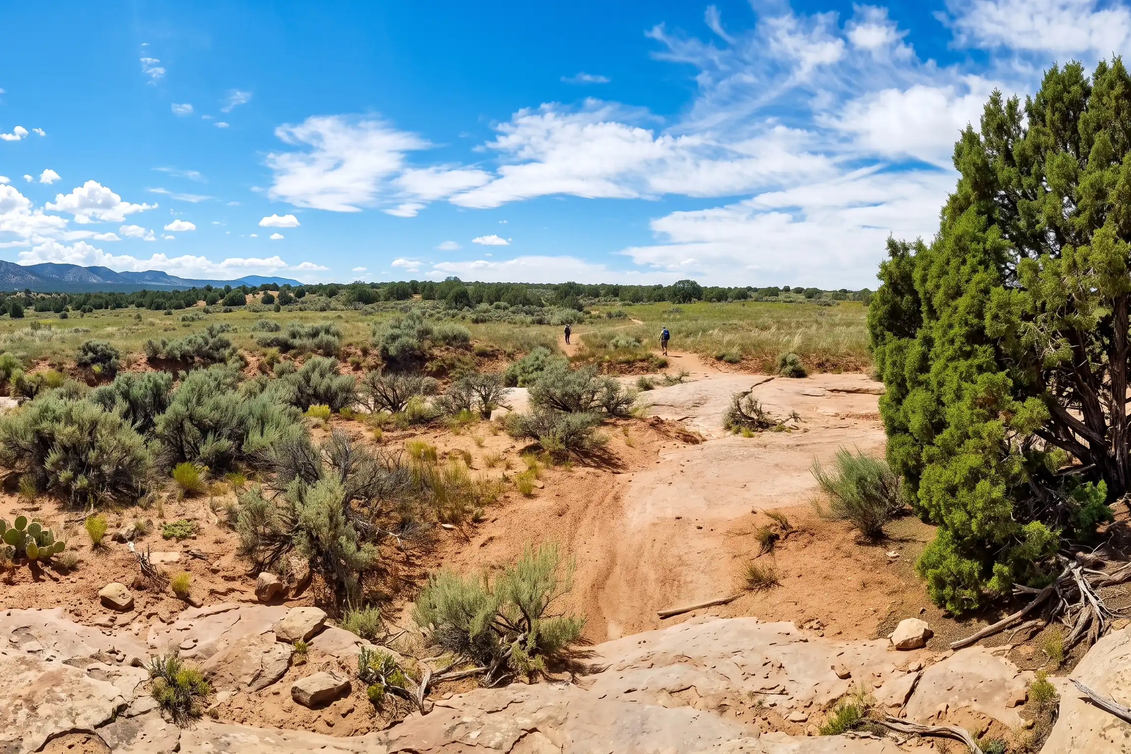
Extending to the park’s western boundary, Whiptail is a fun track that hosts an overlook into Shafer Canyon 1,000 feet below. Dropping in elevation from north to south, the trail is smooth and fast-paced. Intersections with cut-off spurs from both Twisted Tree and Prickly Pear allow for a variety of possible loops.

Twisted Tree
Distance: 1.5 miles
Average biking time: 15-18 minutes
Difficulty: Moderate to Difficult
Twisted Tree is a fun, scenic, and mildly technical ride that follows the rim of Shafer Canyon for more than a mile. The riding here is often on slick rock instead of dirt and sand. The westernmost 1/3 mile of the trail serves as a cutoff that divides Whiptail in two, allowing for differing loop options. Use caution, however, as the cutoff is one of the most difficult sections of the track in the park.
Prickly Pair
Distance: 2.2 (Prickly) or 1.8 miles (Pair)
Biking time: 24-26 minutes (Prickly) or 16-18 minutes (Pair)
Difficulty: Moderate to Difficult
Depending on the direction one chooses from the start of the Intrepid system, Prickly Pair is either the first or last trail that will be encountered. The trail can actually serve as a short, mildly technical loop of its own, using both the “Prickly” and “Pair” segments.
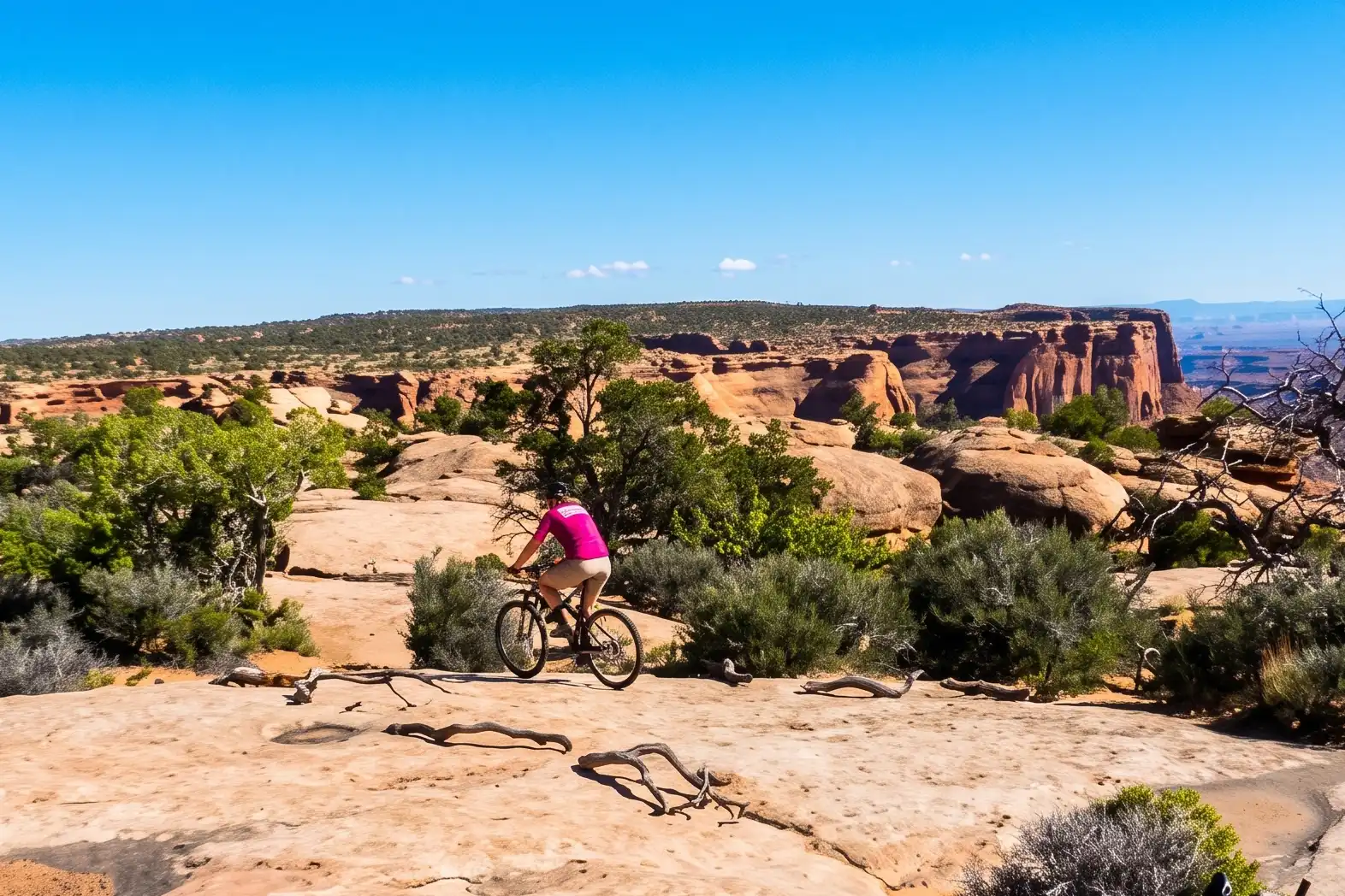
“Prickly” is the more difficult of the two options, consisting of a lot of slick rock and varying elevations. It is also the more scenic option, granting the occasional glimpse of Shafer Canyon to the west. Riding in either direction is sure to be a fun test of your skills.
“Pair” is a more moderate alternative, and also a quicker way to pass through this section of trail. Light sand and slick rock sections will still pose an enjoyable challenge. Crossing over a small ridge also means that riders will experience both uphill and downhill sections while traveling in either direction.
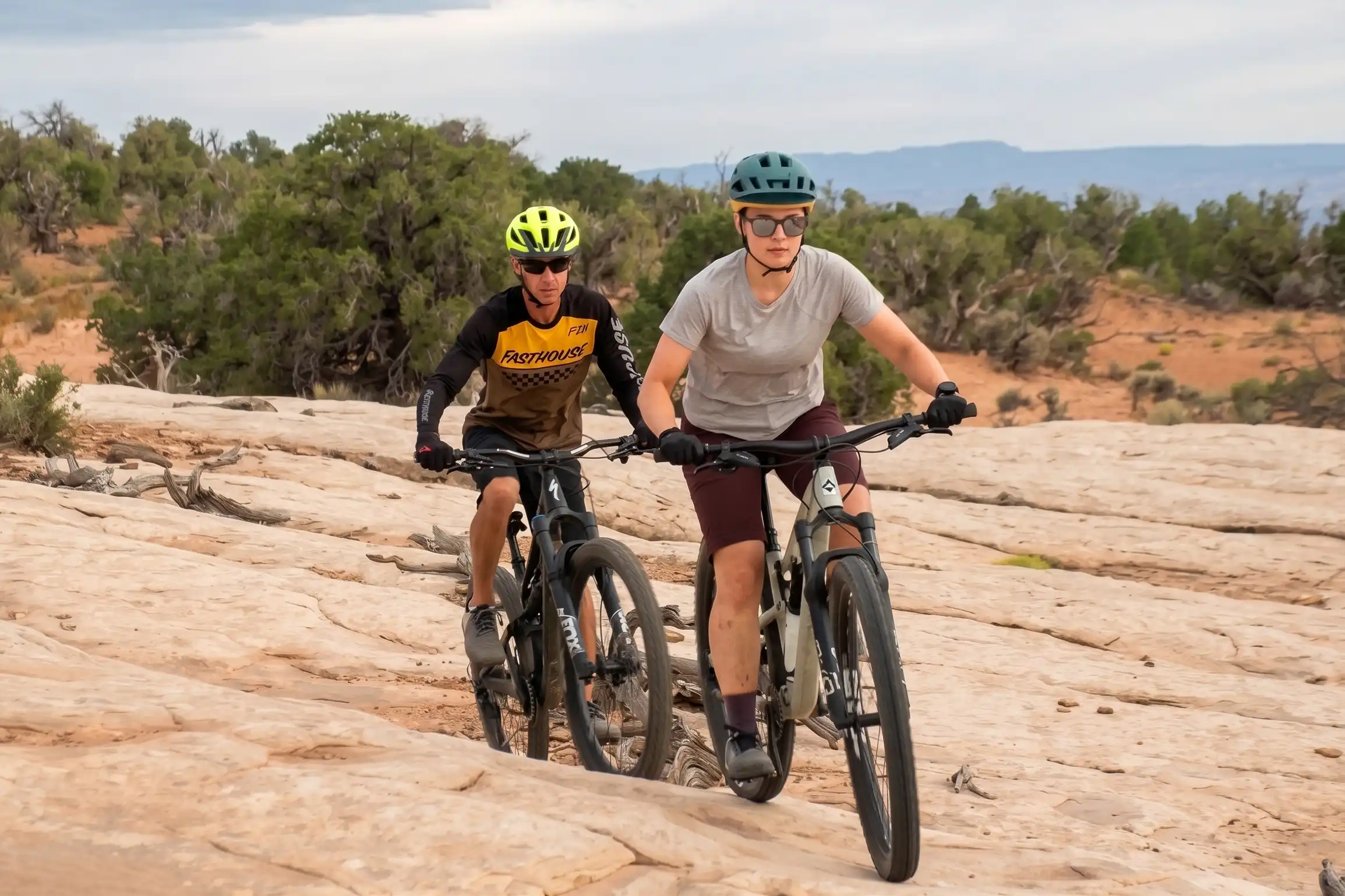
Bike Rentals – Big Horn Mountain Biking
Bighorn Mountain Biking offers mountain bike rentals right from the intrepid trailhead! Skip the crowds and enjoy mountain biking through the desert to pristine overlooks. This family friendly trail system includes beginner and intermediate trail options that provide fun for everyone.
Book in advance with Big Horn Mountain Biking to ensure bikes availability.
Conditions: View more park conditions
Hours: Open year-round: 6:00 am – 10:00 pm
Phone: 435-259-2614 - Visitor Center
Visitor Center: Open daily, 7 a.m. – 5 p.m.
Closed: Thanksgiving, Christmas and New Year’s Day
WiFi: Available at Visitor Center
Emergencies: Call 911 in case of emergencies
Management
Park Manager: James Wells
Assistant Manager: Elizabeth Cappa

77°F
L: 53°
H: 76°
Feels like 76°F°
scattered clouds
Daily Forecast
Hourly Forecast
Tomorrow
53° / 76°°F
0 mm
0%
7 mph
41 %
1018 mb
0 mm/h